Showing posts with label Geology. Show all posts

Friday, February 5, 2016

Earth Carved 03


 Image: Onion Layers Pattern

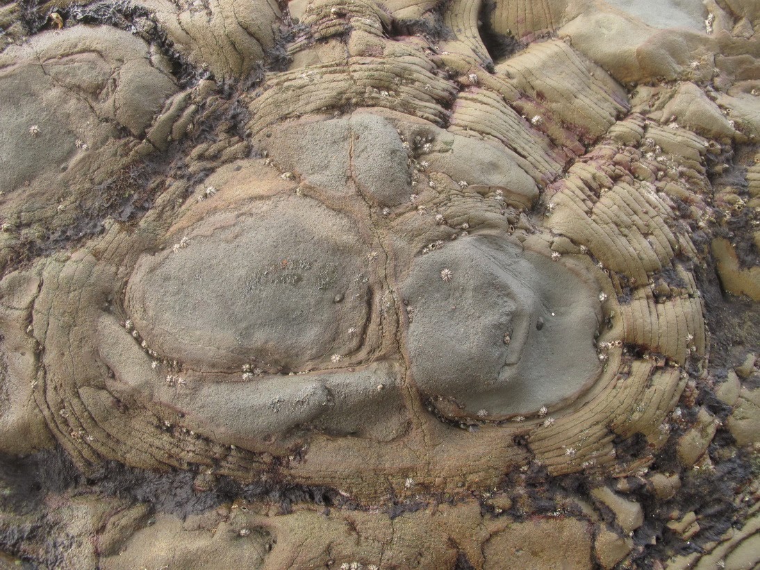
The form and the pattern of the stones that carved by the external power of the earth depend of the mineral types of the stones. Stone's mineral which have different types will have different hardness. The hardness of mineral in the stones influenced the form or the pattern of stones. The weakest part will eroded first and left the harder part. Slowly, the harder part of the stones will be eroded too. The duration depends on the intensity of external power the causing the erosion progress.

Sunday, January 31, 2016

Facts about Toba Lake


Previous   Toba Lake in North Sumatra, Indonesia


Toba Lake is a volcanic lake in North Sumatra Province, Indonesia. It is the biggest lake in Indonesia and South East Asia. The lake's water isolated by Toba Caldera that keep the water inside the caldera. An outlet stream of Toba Lake water is by Porsea in Toba Samosir Regency. The stream flow the Toba Lake water trough Asahan River to East Coast of North Sumatra in Asahan Regency. Some pictures captured from Google Earth show the measurement of Toba Lake area using Google Earth measurement tools. Some facts measured using Google Earth about Toba Lake area.

Thursday, January 28, 2016

Toba Lake


Map of Toba Lake in North Sumatra, Indonesia
Toba Lake

Toba Lake is a volcanic lake in North Sumatra, Indonesia. Lied in central area of North Sumatra Province, surrounding by chain of mountains that named Bukit Barisan in Indonesia. Based on World Lake Database data, Lake Toba is 905 meters above sea level, 529 meters maximum depth and 1.100 square kilometers surface area. There are some islands in the lake, the biggest is Samosir Island, the second is Sibandang Island and 8 smaller islands. North Sumatra is one of the Indonesia province in Sumatra Island.

Tuesday, January 26, 2016

Earth Carved


Tanjung Boay Beach

When I was working for a nickel mining company in East Halmahera, North Moluccas Province, i had a chance to explore nearby earth. East Halmahera is a regency in North Moluccas Province. The regency is in Eastern part of Halmahera Island. The capital of East Halmahera Regency is Maba. A coastal city in East Halmahera Bay. Maba consists of two village, Maba and Maba Sangaji village. There are some small islands in East Halmahera Bay. And a lot of reefs which just a few meters below the sea surface. Most of the small islands have sandy white beaches. Only some of the small island have population that live in it, mostly are not inhabited.

Saturday, January 23, 2016

Earth Carved 01


Stripes Pattern Rocks

The power of the earth that can change earth surface condition. Earth moving direction can be horizontally or vertically or both directions to diagonally moving direction. The earth surface moving caused by dynamic progress inside the earth mantle. Pictures below showed the change that caused by external power of the earth. It involved sun radiation, water movement, wind power and direction.

Friday, January 22, 2016

Earth carved 02


Previous Earth Carved By the water power


Natural pattern of Rock in Halmahera Island, Indonesia
 Irregular Patterned Rock

Previously explained that the unique coloring and patterning stones found in Boay Peninsula near Wailukum Village, East Halmahera Regency. Boay Peninsula also known as Manitinting for the locals. The stones form square, rounded, layered and onion like structure. The exposed part is at east of the hill that covered by high tide seawater. It can be reached in low tide period. The sea waves and fresh water from the top of the hill erode the the soils, causing the stones exposed to surface. And the exposed part have steep sloping.