Previous Earth Carved By the water power
Irregular Patterned Rock
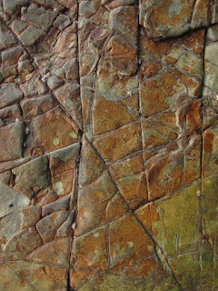
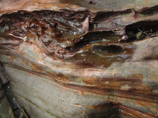
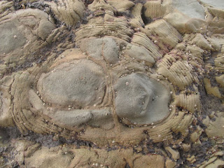
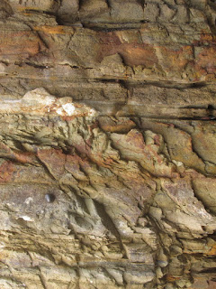
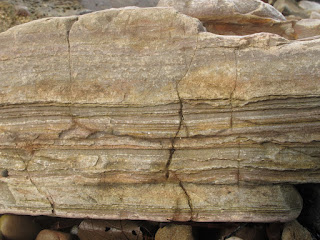
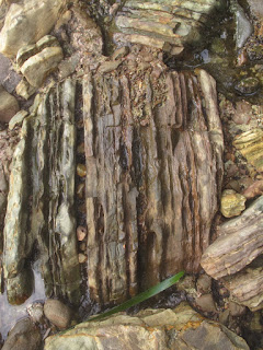
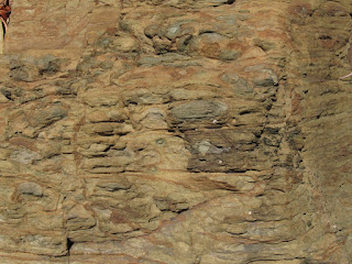
Previously explained that the unique coloring and patterning stones found in Boay Peninsula near Wailukum Village, East Halmahera Regency. Boay Peninsula also known as Manitinting for the locals. The stones form square, rounded, layered and onion like structure. The exposed part is at east of the hill that covered by high tide seawater. It can be reached in low tide period. The sea waves and fresh water from the top of the hill erode the the soils, causing the stones exposed to surface. And the exposed part have steep sloping.
Read also The Globe to see Indonesia position on Earth
Image: Holes on the stone created by water
Image: Onion layer pattern
The hill in Boay Peninsula is surrounding by sandy beaches and mangrove
swamp. The north and east part connected to sea, mangrove swamp at west
and sandy swamp at south. The condition indicated that the hill has
different geological structure compared to surrounding area. One of the
geologist in the team suggested that probably the part of hill was
created due to the pushing action of earth below the hill. The earth
pushed the stones layer upward which cause the forming of the hill. The
suggestion support my previous prediction, that Halmahera Island has
active geological activities. The earth mantle pushed upward, bring
minerals closer to the earth surface. That is one reason why the island
rich of minerals.
Image: Irregular Pattern
Image: Stripes Pattern
Read Also Indonesia Archipelago for the islands orientation
Most of mining companies in Halmahera Island exploit Nickel from the hills and some small island in East Halmahera Bay. Mountain areas of East Halmahera, from north part to south area rich of Nickels Minerals. The chain of the mountains continued until Central Halmahera Regency in south part of Halmahera Island. While drilling and environmental survey, I saw that the plants the living in the survey area dominantly have spreading roots system. It indicated that the land has poor soil. Plants adapted by generating spreading roots to support its need of natural minerals for surviving.
Image: Stripes Pattern
Image: Semi Onion Layer Pattern
Next Rounded Types Pattern
No comments:
Post a Comment